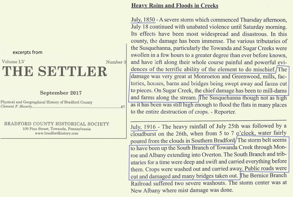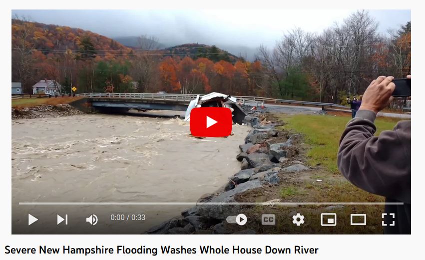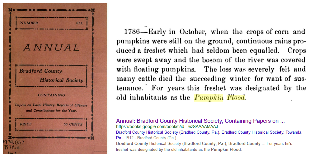

NEED SLIDE SHOW HERE? 1972 flood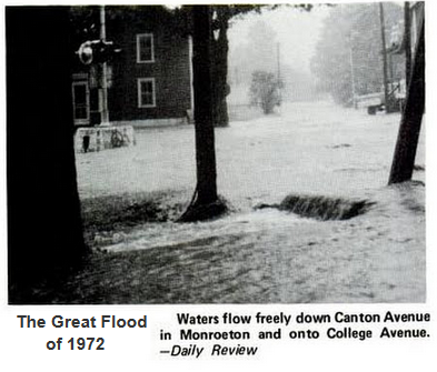
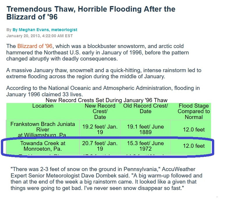
excerpt from Risk Assessment, Mapping, and Planning Partners (RAMPP), Flood Insurance Study prelim report 4/12/2012: ... The Susquehanna River changes its course at the northeastern boundary. Flooding that occurs at Towanda Flats is often compounded by flooding from the Susquehanna River due to the backwater effect that results. High flows on Towanda Creek usually occur at the Village of Monroeton, where the south branch meets the main branch of Towanda Creek from the west. The four worst floods occurred in March 1936, May 1946, June 1972, and September 1975. (Reference 17)
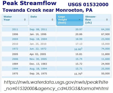
Severe flooding has occurred in Bradford County several times in recent years as well. The most recent storms occurred in February of 2007 and September 2011, when severe storms caused flooding throughout Bradford County. Recent flooding also occurred in June 2006, May 2005, and September 2004 as a result of Tropical Depression Ivan. (Reference 19) (from rampp-team.com.../bradford_pa_fis_tables-revised.pdf )s
NEED ANOTHER SLIDE SHOW for 8 pics from 1996 flood. (pics ARE saved on laptop harddrive) 1996-012xroof_orig.jpg, 1996-dailyrvwpic-carinlawnpond_1_orig.jpg, 1996-0122-dailyrvwfrontpage_orig.jpg, 1996-012x-dailyrvwpic-steitzerhome_orig.jpg, 1996-0121-dailyrvwpic-house_orig.jpg, 1996-jan-dr-howcoveragestands_orig.jpg, 1996-jandebrislinedstreetview2_1_orig.jpg, 1996-febdailyrvweditorial-prevention_1_orig.jpg

excerpt from 2004 FLOODING IN THE SUSQUEHANNA RIVER BASIN, Susquehanna River Basin Commission (www.srbc.net/programs/docs/2004FloodSummary.pdf)
...7/31/04 A heavy rain in northcentral Pennsylvania caused flash flooding and road closures in Lycoming and Sullivan Counties. Several secondary roads were washed out. The second heavy rain event in less than a week caused flash flooding in Bradford County, Pa., where there were reports of basement flooding and flooded roadways.
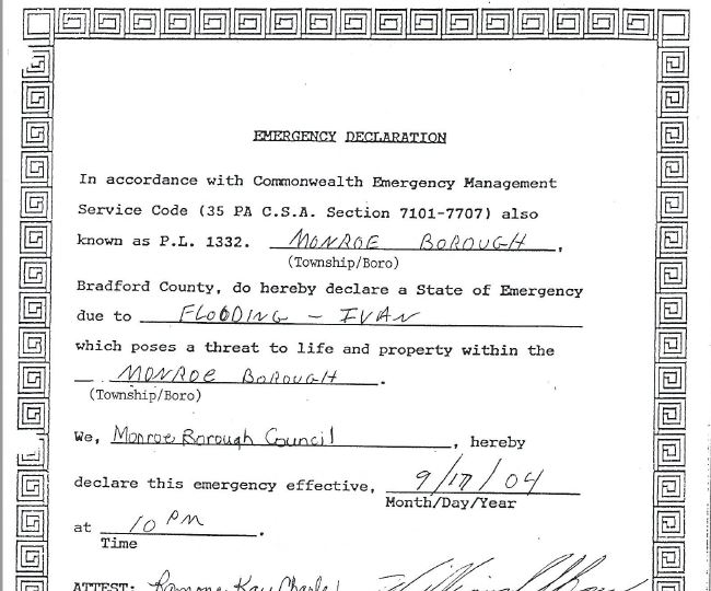
9/18-19/04 A complex interaction between a strong, slow-moving cold front and the remnants of Hurricane Ivan produced heavy rainfall throughout the Susquehanna basin.
Rainfall totals ranged from 1.5 inches in the northwest region of the basin to over 9 inches in the West Branch Susquehanna Subbasin. Some areas of the Juniata and Middle Susquehanna Subbasins received between 5 and 7 inches of rain. The southern tier of New York from Elmira to Binghamton received 4 to 5 inches of rain, and areas north of that measured 3 to 4 inches. Many areas were still saturated from the rainfall associated with the Frances event, and thus significant widespread moderate-to-major flooding occurred throughout the basin.
Many locations throughout the basin exceeded flood stage, and several measured record high stages. Localized minor-to-moderate flooding occurred in Chemung, Chenango, Steuben and Tioga Counties in New York. Several flood control structures were in danger of being breeched or failing in Cambria, Huntingdon and Montour Counties in Pennsylvania, prompting evacuations and emergency response. Thirty-seven counties falling partially or entirely in the Susquehanna Basin were declared federal disaster areas. Two drowning deaths were reported in central Pennsylvania. Moderate-to-major flooding occurred in the following counties: ... Bradford County, Pa. – More than half of the roads in the county were closed, including all major roads, and a state of emergency was declared. About 50 homes, 5 businesses and dozens of roads and bridges were damaged. Over 20 water rescues were conducted.
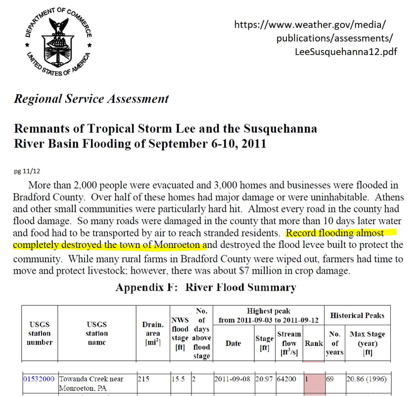
2011: "... (Tropical Storm) Lee caused the Susquehanna River to reach the third worst flood stage in its history..." (from wikipedia)
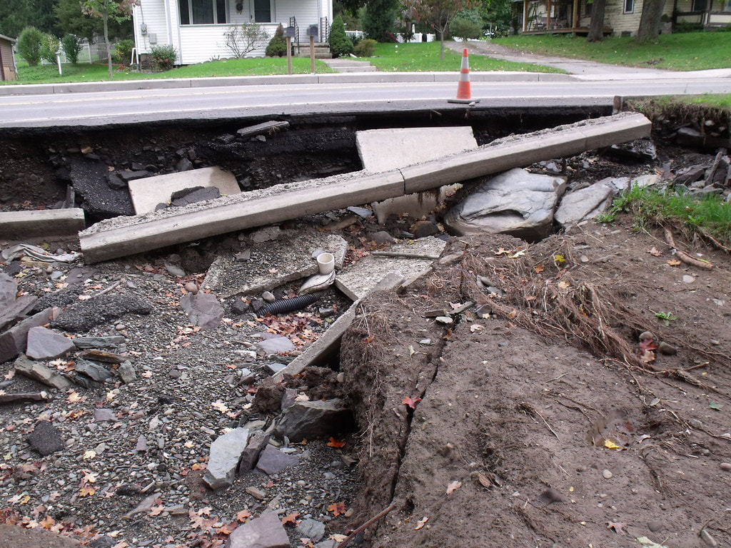
<

August 14, 2018, Towanda Creek, South Branch :
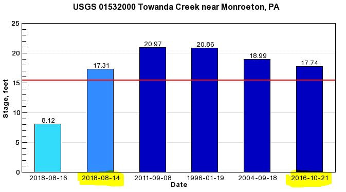 NEED SLIDE SHOW - 5 MORE pics: fb-jcorey-aug142018-1_orig.jpg, fb-jcorey-aug142018-3_orig.jpg, fb-jcorey-aug142018-2_orig.jpg, fb-bziegler-aug142018_orig.jpg, wbng-aug142018floodiingimpact_orig.jpg
ANYONE w/PICTURES FROM THE 1975 flood, please share!
